Member-only story
How Google Earth (Really) Works
One of the original creators of Google Earth explains how it works
I originally posted a version of this story in 2007 and have added a few updates for 2020. For the technically inclined, you may want to read the patents — Asynchronous Multilevel Texture Pipeline, Server for geospatially organized flat file data — that protect these ideas. [Note: Michael Jones, Chris Tanner, Phil Keslin, David Kornmann, John Hanke, and more contributed to Google Earth in different ways and currently work at Niantic (the makers of Pokemon Go).]
 We’re going to proceed in reverse, strange as it may seem, from the instant the 3D Earth is drawn on your screen and later trace back to the time the data is served. I believe this will help explain why things are done as they are and why some other approaches don’t work nearly as well.
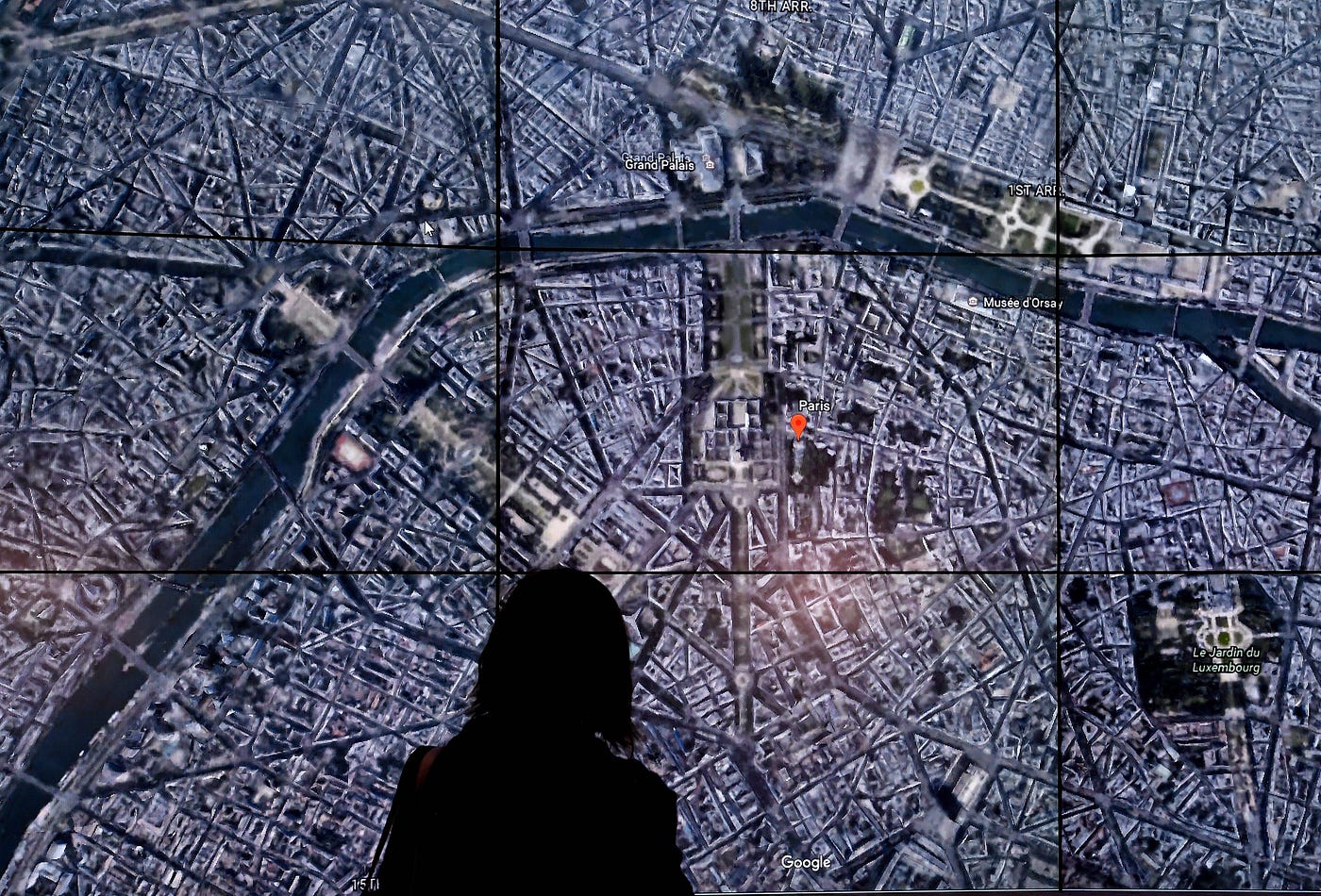
Part 1, The Result: Drawing a 3D Virtual Globe
There are two principal differences between Google Maps and Google Earth that inform how things should ideally work under the hood. The first is the difference between fixed-view (often top-down) 2D and free-perspective 3D rendering. The second is between real-time and prerendered graphics. These two distinctions are fading away as the products improve and converge. As of today, you can…

